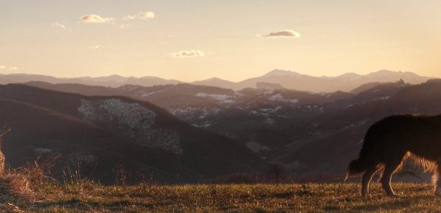
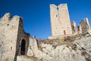
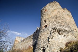
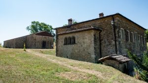
Leaving the village of Montalto, it’s time to tackle the slopes of Monte Duro, a European Union site of interest, following paths and beaten tracks until the Castello delle Carpinete comes into view.
- Departure from: Montalto
- Arrive at: Carpineti
- Distance: 22 kilometers
- Approximate journey time: 6 h e 45 min
- Ascent: 1053 meters
- Descent: 669 meters
- Download leg route in gpx format
- Map in pdf format to print
Leg description
Leaving Montalto, head south towards the slopes of Monte Duro in the direction of Riolo. Just before you reach Riolo, take the carriageable road that ascends to the right and that leads to the woods of Monte Duro. You’ll then find yourself on the other side just before San Giovanni di Querciola. From here, continue to Ca’ De Pazzi and just before the oratory of San Siro take the path on the right leading to Mulino del Tasso and then to Giandeto.
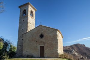
You’re now halfway through the day’s journey, which continues along small paved roads and carriage roads to Onfiano. From here, you’ll begin a steady ascent, passing Case Spadaccini and finally reaching the Pieve di San Vitale and continuing on to Castello delle Carpinete.
Useful information
Rest areas (water and food): you can find rest areas for food and water at San Giovanni di Querciola, Ca’ de Pazzi, Case Spadaccini and, of course, at Carpineti.
Access by public transport: on the first part of the leg you’ll come to San Giovanni di Querciola, which is served by public transport on the Reggio Emilia – Carpineti line. There are also other stops at Giandeto and Case Spadaccini.
Pharmacies: the only pharmacy available on the route is at the end in Carpineti.
Where stay
The arrival leg of Carpineti offers some accommodation and overnight solutions.


